Categories
Aspire Culture Blog courses Culture Destinations Diverse Voices Highlights LCT Lost Coast Trail Stage Native update

The Lost Coast: The Ancestral Lands of the Sinkyone

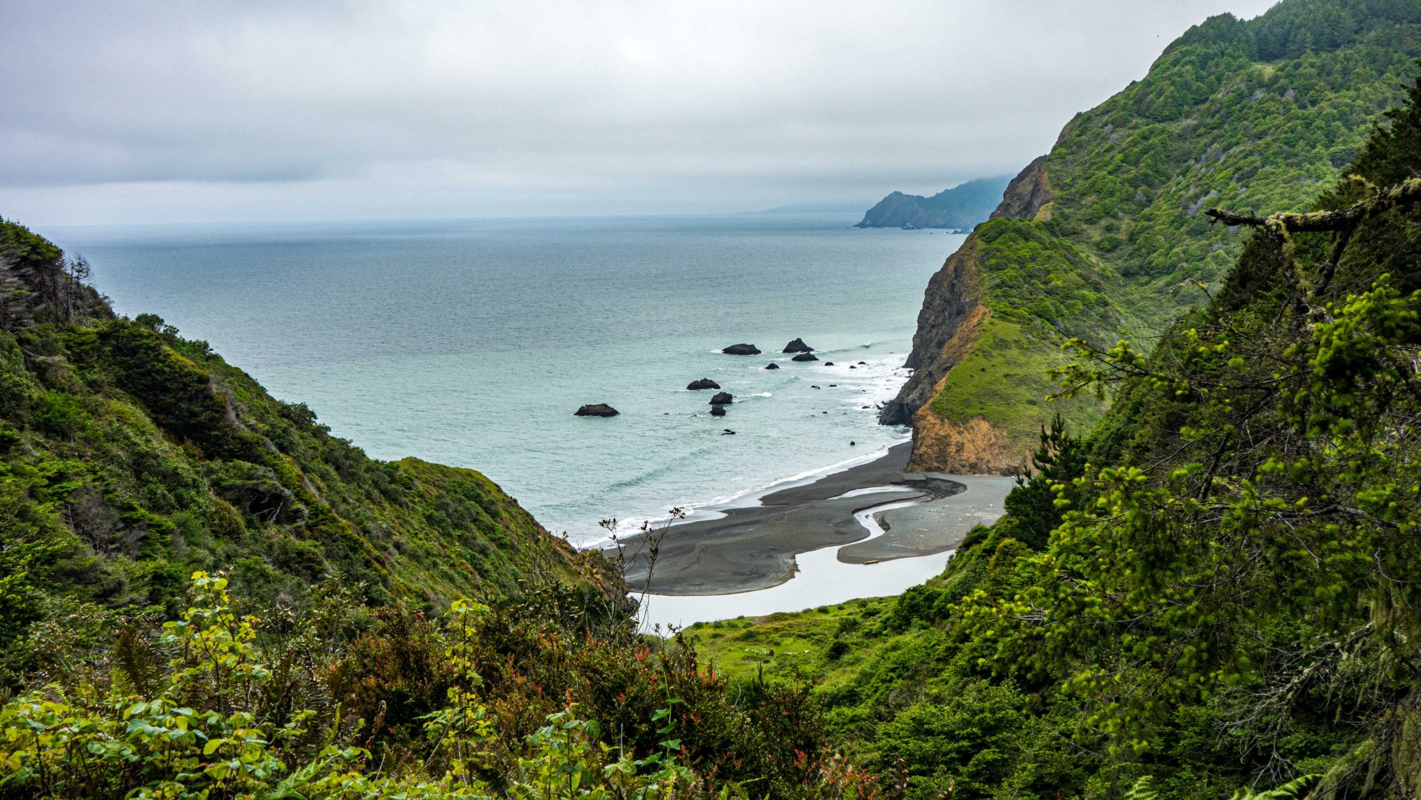
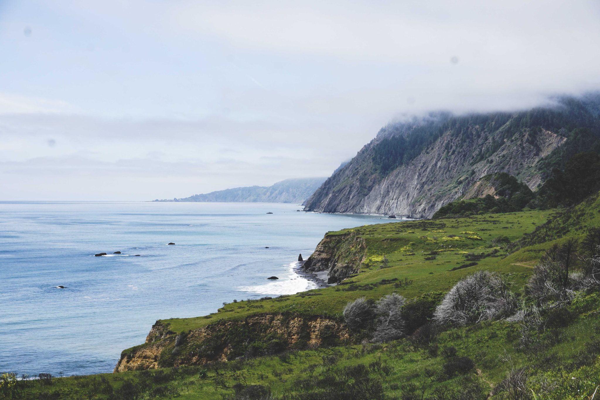
When we run along the Lost Coast Trail, we’re immersed in wild remote beaches, bold headlands, the salty scent of the North Pacific and the barks of sea lions.  In the King Range Wilderness, we navigate the rhythm of tides and the constantly changing landscape of sand, meadows, redwood forest, and rocky cliffs. We may even be aware that we’re on the southern edge of a coastal temperate rainforest ecosystem-the Cascadia Bioregion- that extends all the way into Alaska. We may know that the cornerstone species of that ecosystem is the Pacific Salmon, and that in recent decades, as the ecosystem has been threatened, a fierce bioregional culture of salmon and forest restoration as grown up in the Lost Coast area, with hundreds of activists and ecologists working hard to preserve the Salmon, Redwoods, and surrounding ecosystem. What we should also acknowledge is that we are traveling through the ancestral homelands of the indigenous Sinkyone people, who live on, and have sustainably managed this region for thousands of years.
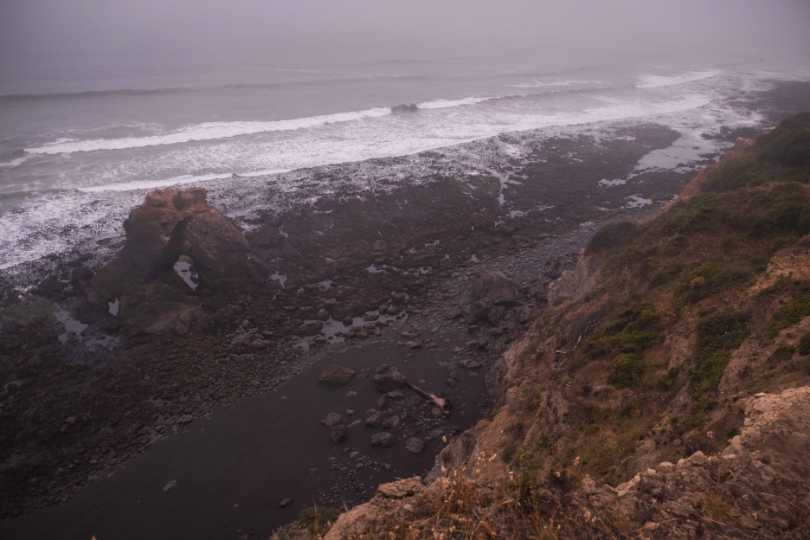
Needle Rock on the Lost Coast

Despite such an honorable and beautiful legacy, much of the last two centuries has been a story of tragedy for the Sinkyone, who suffered cultural genocide from settlers and soldiers during the nineteenth century and into the twentieth. Despite such horrors, in recent decades, their story has taken a better turn: after nearly two centuries of dispossession, a consortium of ten federally recognized tribes has created the first intertribal wilderness park of its kind in this region: the Sinkyone Wilderness Park.
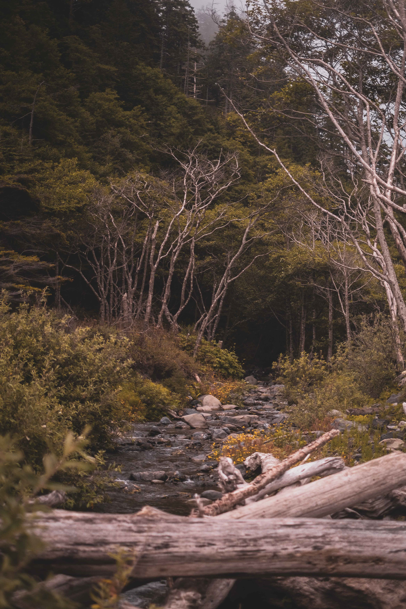
Sinkyone History

For millennia, the Sinkyone people of northern California (named for “Sinkikok”-their name for the Eel River watershed) lived in this mountainous, fertile, foggy coast 150 miles north of present-day San Francisco Bay area.  With about seventy villages by the time of European contact, they would winter inland along the South Fork of the Eel river, and in summer, travel to the coast (south of the current area of Spanish Flat) to gather fish, acorns, berries, seaweed, kelp, roots, nuts and seeds.

As part of their sustainable management practices, they would rotationally burn coastal prairies and woodlands to maintain the health and productivity of the ecosystem, and to ensure their sources of food and medicinal plants. Based on cultural practices informed by centuries of evidence-based observation, they also hunted and gathered rotationally, carefully transplanted various plants and animals, and integrated those activities with spiritual practices. The Redwood tree  (called “Kahstcho” in Sinkyone) was considered especially sacred, and was used to create baskets, fish traps, boats, houses, and clothing.
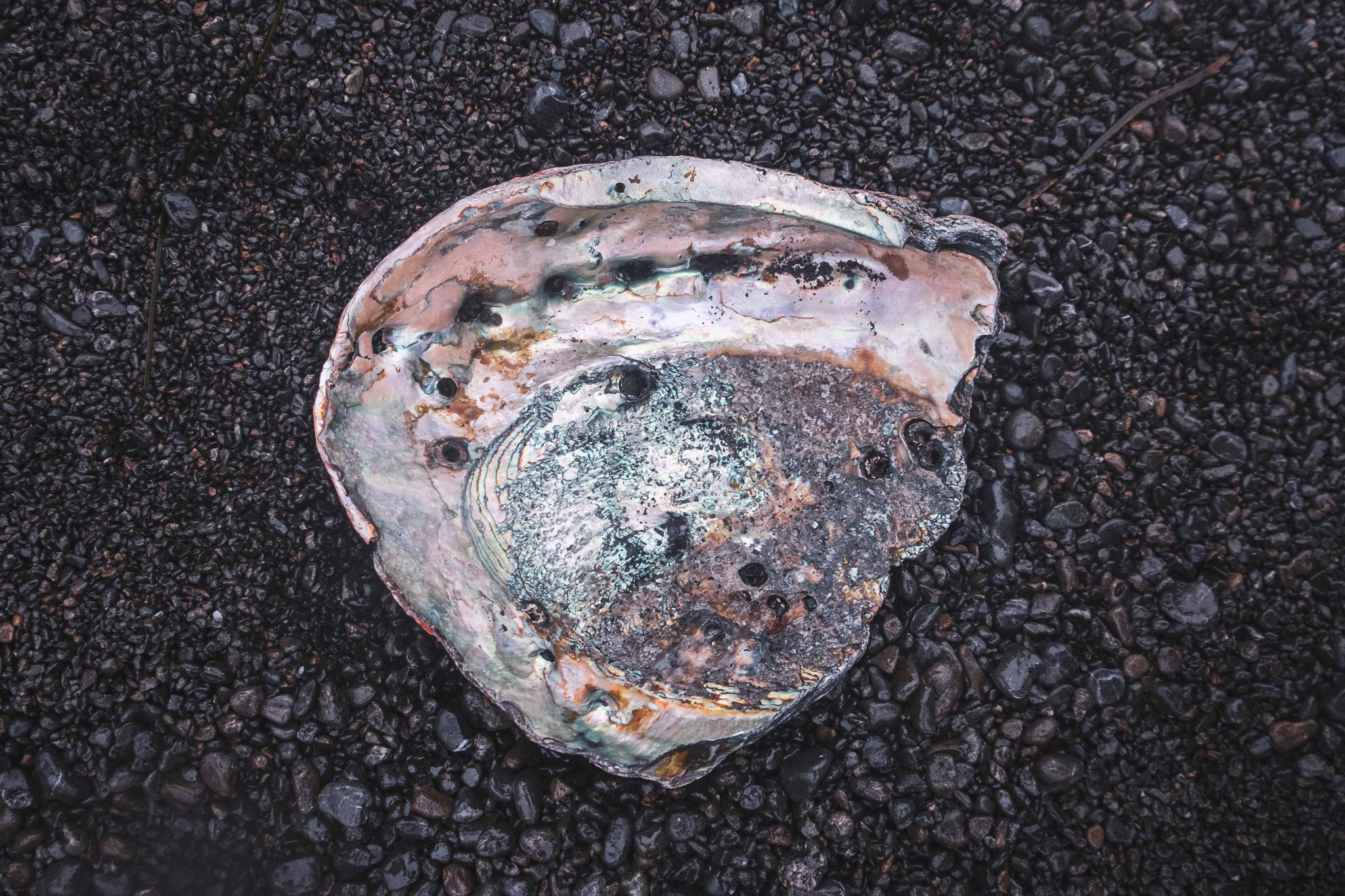

Arrival of Settlers

Starting with the California gold rush of the 1850s, the Sinkyone-along with many other California native peoples-were massacred in less than two decades. Bounties were paid for the scalps of Sinkyone men, women and children. The few remaining Sinkyone were forced into slavery, moved to reservations, or absorbed into surrounding tribes as their land was claimed by mining and timber companies, and logged of most of its best Redwood and Douglas Fir trees.  During the ensuing century-and-a-half, native peoples continued to visit the area for hunting and gathering and ceremonies, but often at their own peril. In the middle of the twentieth century, as chainsaws, bulldozers and skidders changed harvest methods, the rate of logging dramatically increased, resulting in clear-cuts which destroyed the ecosystem, resulting in landslides, and the severe diminishment of the native salmon fisheries. 

Fortunately, the story of the Sinkyone has moved in a better direction in recent decades: Beginning in the 1970s, as logging intensity increased in Mendocino County, a nascent environmental movement was also growing, both nationally and locally. As young environmentalists began to work toward saving the last of the old-growth Redwoods, they began to listen to native people’s stories-both ancestral and more recent-about the land and their relationship to it. During that time, the Sinkyone Wilderness State Park was created.
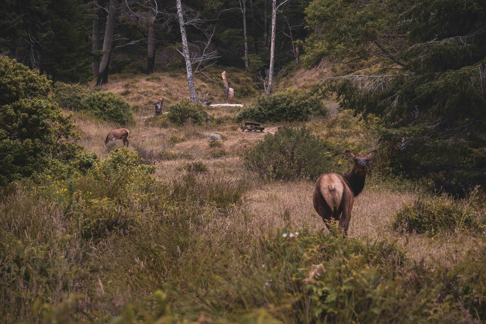
Environmental Stewardship

In the 1980s, Earth First protestors blocked bulldozers and sat in trees to prevent logging in Sally Bell Redwood Grove-named for a Sinkyone woman who watched American soldiers murder her family. By 1985, Native people and environmentalists won an historic court case- the Sally Bell lawsuit- to stop clearcutting, and the Trust for Public Land acquired thousands of acres of contested land from the Georgia Pacific Corporation, including coastline and old-growth Redwood groves, and some of that land was added to the Sinkyone state park. 

Over the next decade, various government agencies, conservation organizations, and a consortium of ten local tribes-who created the Intertribal Sinkyone Wilderness Council- worked to reconcile different agendas and figure out what to do with one large, remaining upland tract of second-growth redwood and Douglas Fir. The result is the 4000 acre Sinkyone Wilderness Park, created in 1997, which redefines “productive” as more than merely extractive, and also includes ecotourism, salmon and forest stewardship, and wilderness where native people can practice ceremonies and hunt and harvest traditionally. This groundbreaking venture represents the first time tribes have come together to establish a nonprofit organization to acquire land, the first time a government agency has transferred land to Native people under a conservation easement, and it is one of the first times that an easement has tried to specify how forestland can be harvested while simultaneously preserving old growth ecology and forest health. This collaborative easement-which guarantees public access to the adjoining Sinkyone Wilderness State Park while managing the land to support old-growth forests- represents the beginning of a healing, ecologically, culturally, and socially.  It ensures both the continuation of Native culture and the restoration of the land, while creating a model of cooperation between Native people and environmental collaborators that might be used around North America.
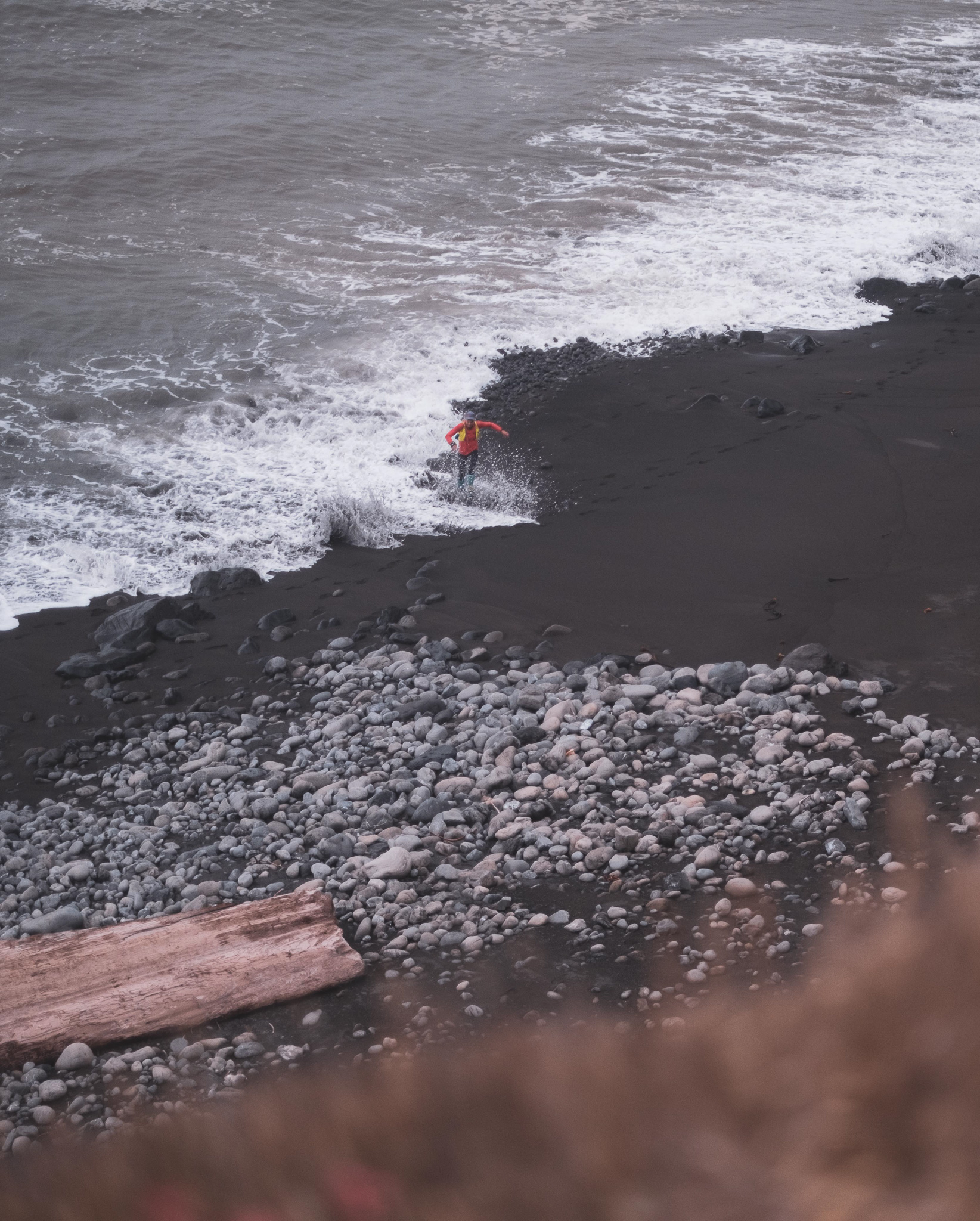

When we run the Lost Coast Trail, we run not only through a beautiful landscape. We are guests in the home of people who lived here for millennia, and who are moving forward, despite unbelievable challenges. And because of the efforts of these Native people and their collaborators, we have the chance to run through the part of the longest stretch of permanently protected coastal wilderness in the continental United States. As trail runners, as lovers of wild places, it is important that we honor the history and culture of these people, and the beautiful, ecologically rich land that they share with us.
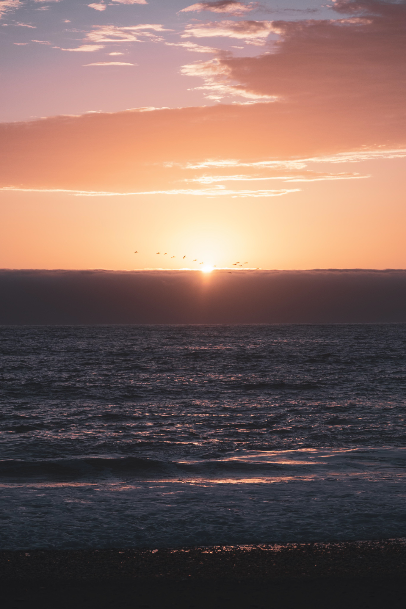

To learn more about the Sinkyone and the work of the Intertribal Sinkyone Wilderness Council. 

https://www.sinkyone.org/


Ian Ramsey

With three decades spent exploring the PNW and Alaska, Ian is based in Maine, where he directs the Kauffmann Program for Environmental Writing and Wilderness Exploration, and teaches writing, ecology, brain science, music and mindfulness to high school students. With over two decades leading trips and expeditions across the US, Alaska and internationally, he loves empowering people to take agency in their lives and discover new places. Ian is a poet and graduate of the Rainier Writing Workshop, and his writing has been featured in places like Terrain.org, Orion and High Desert Journal.  He also directs a community steelband, loves kayaking big water, drinks copious amounts of coffee, geeks out around nutrition, literature and fitness, and was once a member of an Inuit Dance Troupe.

Check out his website at Ianramsey.net
Categories
Aspire Culture Blog courses Culture Destinations Highlights LCT Lost Coast Trail Stage update Wild

Ecological Rhythms of the Lost Coast

Pacific Salmon have been an ecological cornerstone of the Pacific Northwest for millions of years. By studying their lifespans, a broader picture of connection between all of nature comes into focus. As runners travelling through these landscapes, we are invited to join these ebbs and flows. Jeff Mogavero explores these connections through the eyes of a wildlife technician and ultra-runner.

“And while they delight our senses, the salmon also represent us in a profound and heartfelt way. They are the precious mettle of our watersheds. They embody our home places. Salmon are the deep note of our dwelling here, the silver soul of this green bell-steelhead, sockeye, coho, chum, pinks, and kings.”

-Tom Jay, “Homecoming” 

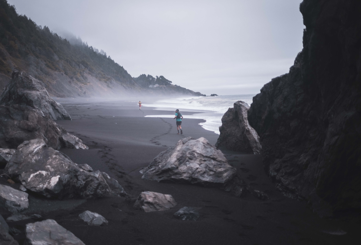
Heading up stream in the King’s Range on the Northern California Coast. PC: Jeff Mogavero

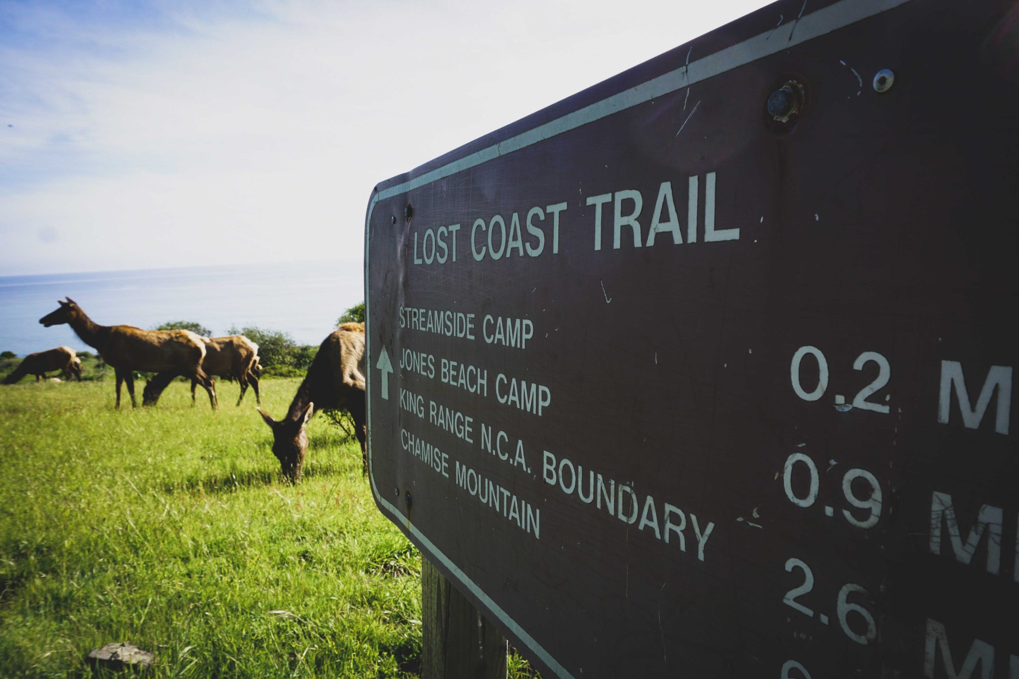
TO RUN the Lost Coast Trail is to flow between the earth and the sea. To scramble up stony bluffs and to trot across tan satiny acres of beach sand. To see more sea lions and elk than people.  To deeply breathe in the tang of saltwater and marine life. To run the wildest edge of the west coast.

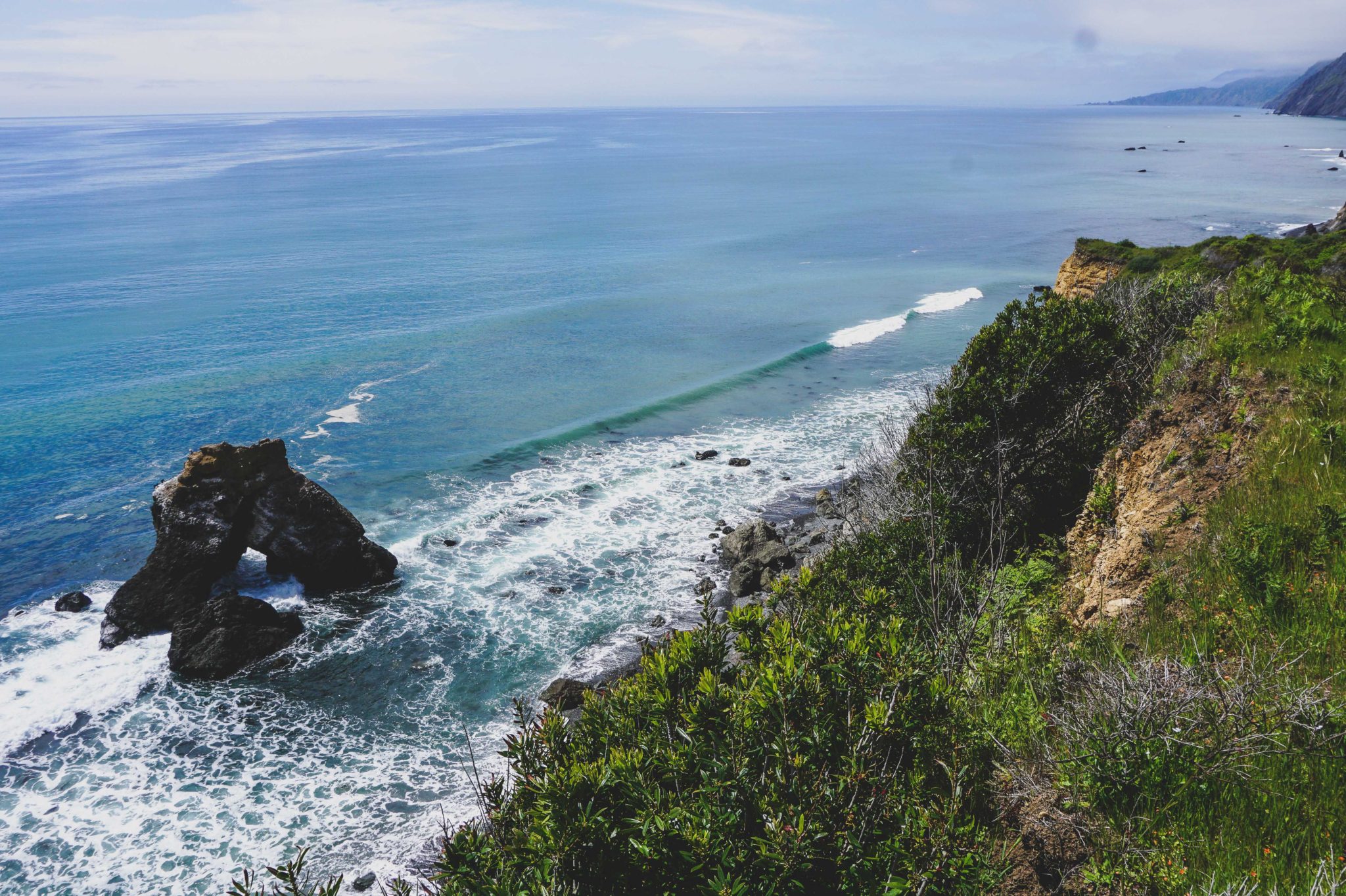
Over days, you’ll run across beaches of sand, beaches of volcanic rock, beaches of bowling-ball-sized rocks, beaches of cobble and seaweed. For those days, you’ll live in deepest relationship with the rhythm of the earth and sea, timing your movement around the tides, feeling those great shifts of the ocean around you. Waking to the crashing of waves and watching dusk fall around a campfire. 

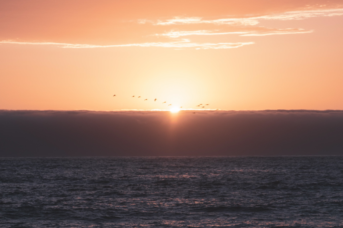
All the while running along the edge of the King Range, along the edge of the Sinkyone Wilderness, and most of all, along the edge of the great North Pacific. Standing awestruck above the cool plain of the sea, or flowing through marine meadows beside the water’s hypnotic boil. The sea’s mood different every hour and every day: wide, skidding waves or seething combers, or silky calm beneath a golden setting sun, or the slow pound against thousand foot cliffs on a foggy morning. And just as the weather strips the coastline, it strips you down and then builds you up, filling you with a wild strength you never knew you had. 

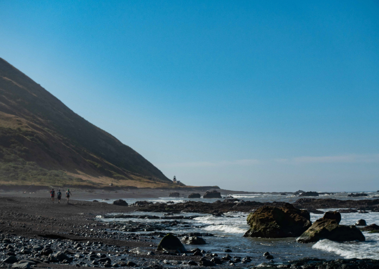
Runners cross a stretch of beach on California’s Lost Coast Trail

To run the forgotten coast is also to run through the gateway of one of the world’s greatest ecological miracles:

This wild rib of forgotten coastline is the southernmost range of Pacific Salmon, a two-million-year-old magnificent species that is the ecological cornerstone of the entire north Pacific, from California up through Oregon, Washington, BC and Alaska, and even across to Siberia and Northern Japan.  Salmon are born in the clear cold streams of these regions and migrate out to sea, returning two years later to the exact stream where they were born, fighting their way upstream to spawn, laying the eggs for the next generation, and then die.

When they go to sea for voyages that can be 10,000 miles long, they’re the size of your fist, and when they swim back up the exact alder-lined home creek where they were born twenty-four months later, they’re often the size of your leg, their flesh red from the mineral richness of the deep sea. As they spawn and die, they are eaten by eagles, bears and other creatures who spread their ocean-mineral-rich remains throughout the forest, even into the tops of trees. If you take a carbon scan of, say, a two-hundred foot Sitka Spruce or Doug Fir, you can literally see the salmon matter up in the crown of the tree. Thus, the lush Pacific Northwest temperate rainforest is a “Salmon Forest,” and much of its biological richness comes from the Salmon importing ocean nutrients inland into the forests, just as the dark, cool forests keep the salmon streams cold and clear for the salmon to thrive. 

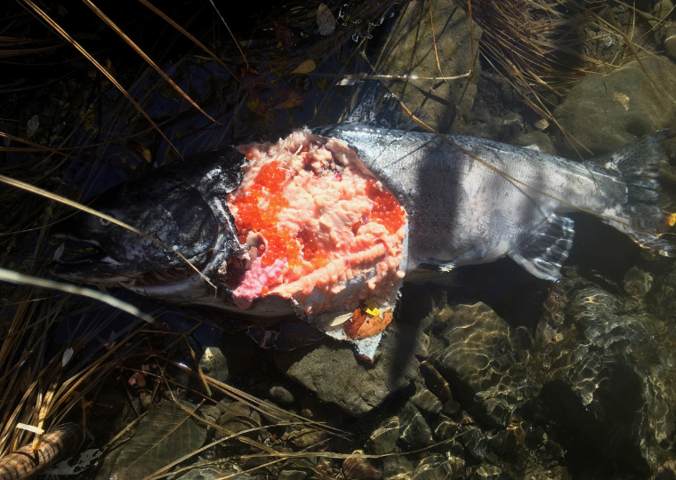
A salmon disintegrated on the shore of a creek. PC: Jeff Mogavero

Generations ago, Salmon inhabited watersheds all the way down to San Diego and southern Japan, surviving and adapting to ice ages, floods and droughts. But in the last century, ecological pressure from development, mining, dredging, logging, and climate change has reduced their range. Along the Lost Coast, the Salmon runs have been kept alive by a team of dedicated watershed activists who have fought for decades to protect the ecological and hydrological integrity of salmon streams, and even hand-delivering smolts (baby fish) into healthy stream habitat. They’ve prevented dams, built fish ladders and hatcheries, protected and helped to hatch eggs, and restored the salmon runs on rivers like the Mattole and the Eel. The King Range Conservation Area, created in 1970, was the nation’s first designated Conservation Area, and a quarter-century later the coastal King Range Wilderness (that hosts much of the trail) was also designated to further protect this place. Offshore, the Rocks and Island Wilderness protects even more habitat.  So, as you run beneath Ospreys and Cormorants, with seals barking and bear tracks visible in the sand, you are moving through one of the crown jewels of American conservation.  

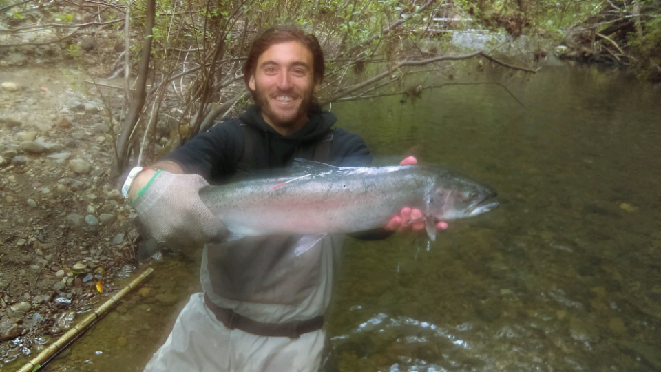
Jeff Mogavero holds up a large salmon on the Lost Coast

And so, to run the Lost Coast trail is to run through America’s longest stretch of undeveloped coastline outside of Alaska, in the remote footsteps of conservationists and activists who protected it. It is to marvel at herds of Elk while Bald Eagles fish the crumpling waves.  To stagger up ragged thumbs of land, and to narrowly escape across tide flats before the ocean gushes back in.  To be a participant in an ecosystem that stretches north across the Pacific all the way to Japan, in the soul-shadow of those extraordinary Salmon; and just as the Salmon return to their restored home streams bigger and stronger, we are restored by this wild ecological integrity, returning to some deep, quiet place within ourselves, strengthened and calmed.  By living for a bit in the resonance of such a place, maybe we can return to our homeplaces deeper and more resilient. As salmon activist and author Freeman House has written of this coast, “I find in myself a new fluidity of response, a diminished sense of attachment, a more comfortable sense of humility. I am a different person than I was when I arrived in this valley.”


With three decades spent exploring the PNW and Alaska, Ian is based in Maine, where he directs the Kauffmann Program for Environmental Writing and Wilderness Exploration, and teaches writing, ecology, brain science, music and mindfulness to high school students. With over two decades leading trips and expeditions across the US, Alaska and internationally, he loves empowering people to take agency in their lives and discover new places. Ian is a poet and graduate of the Rainier Writing Workshop, and his writing has been featured in places like Terrain.org, Orion and High Desert Journal.  He also directs a community steelband, loves kayaking big water, drinks copious amounts of coffee, geeks out around nutrition, literature and fitness, and was once a member of an Inuit Dance Troupe.

Check out his website at Ianramsey.net
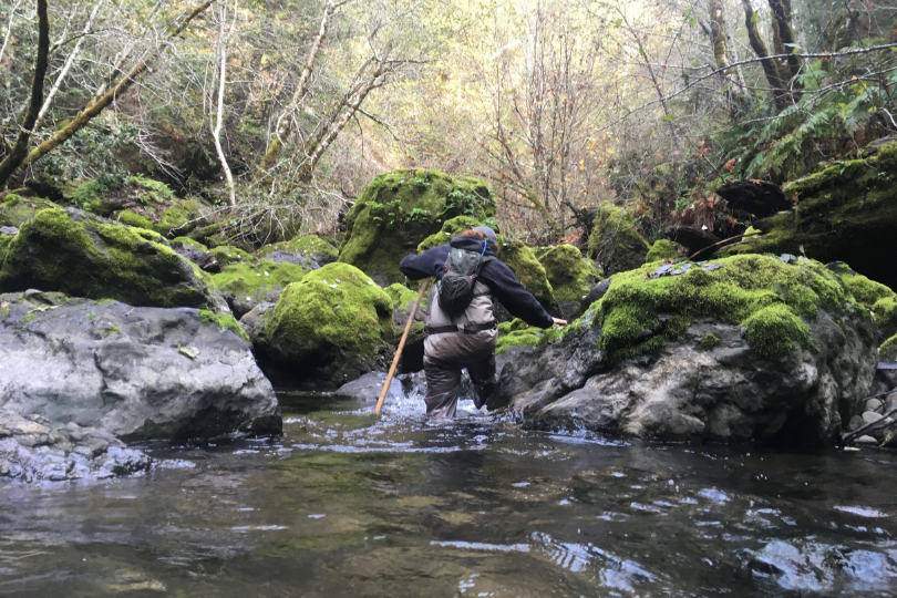

Run this rugged stretch of California coast with Aspire and see how you come away changed.

Run the Lost Coast Trail.

Categories
Aspire Culture Blog courses Culture Destinations Highlights LCT Lost Coast Trail Stage Pulse Stage Trip Reports and Trip Styles Trip Styles update Wild

Megafauna, Naked Women, and Bloodthirsty Vegetation: An FKT on the Lost Coast Trail

Jeff Mogavero is uniquely positioned to tell stories from the Lost Coast. As a wildlife biologist he spent 7 months trekking deep into remote coastal streams in search of spawning salmon and steelhead. As a runner he recently set the supported FKT on the Lost Coast Trail, a 10 hour and 10 minute sprint across the 57 miles of beach, trail, and views, from Mattole River to Usal Beach. 

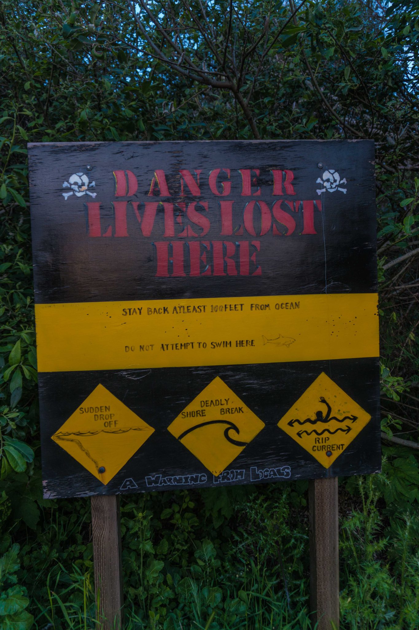
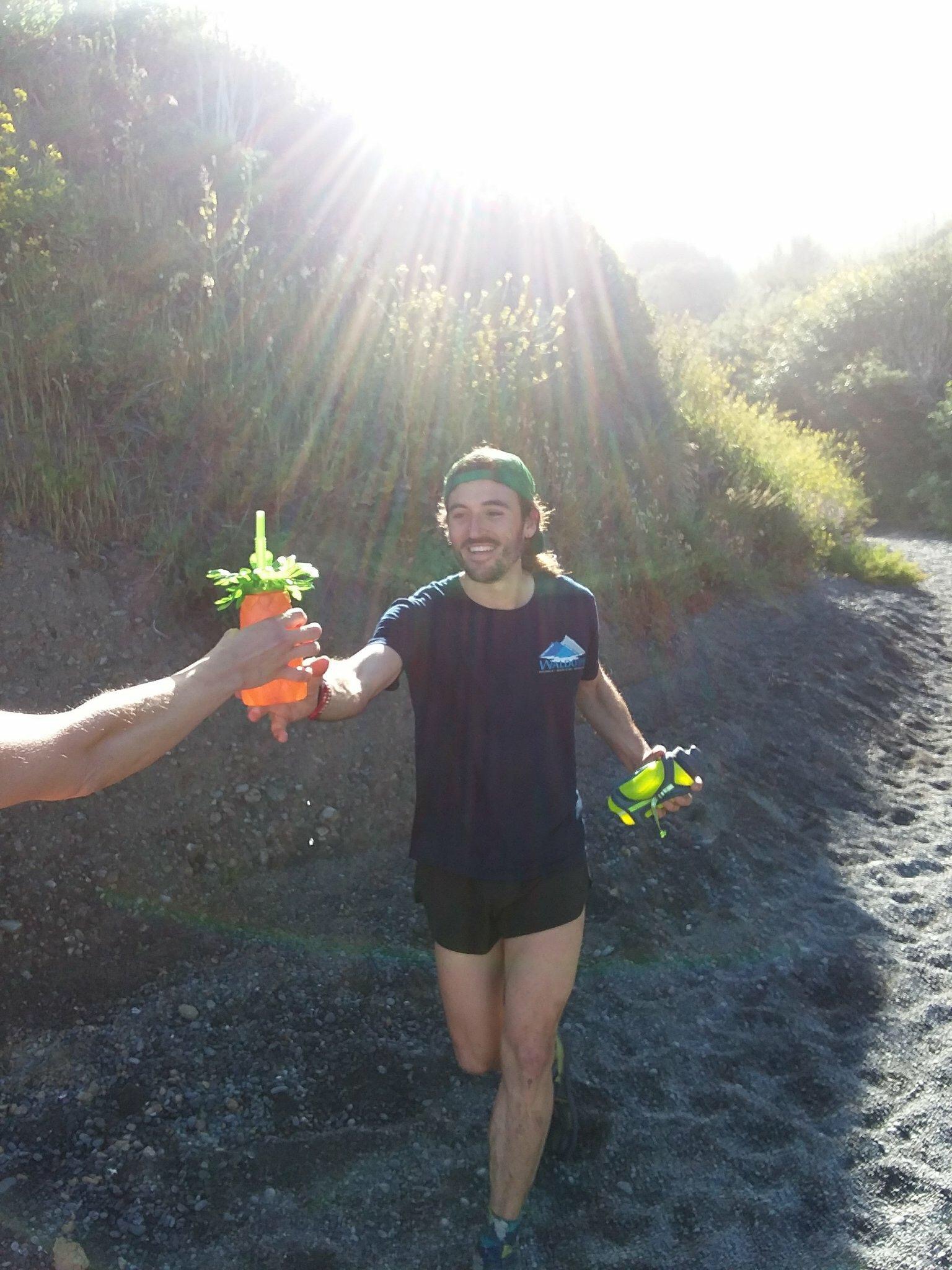
Two naked women came sprinting across the sand towards me. They were clad in nothing but American flag hats, dollar store sunglasses, mardi gras beads, and one, a giant fur coat flowing in the wind. Dana handed me a plastic pineapple filled with hydration mix. I sipped out of the frilly green bendy straw and stripped the pack off my sweaty back. Jordan tossed me a fresh handheld bottle as I looked up at a weathered plywood sign locals had posted where beach meets road: “DANGER -LIVES LOST HERE.” Arriving at the painted skull and crossbones meant that I had safely made it through the first 25 miles of this journey. 

Jordan and Dana were total strangers less than a month ago, and now thanks to a series of serendipitous events unique to the ultra community, they were my crew and fully committed to my physical and psychological well being. We chatted briefly about their lack of clothes and how sore I was from running on sand for the rough equivalent of a marathon. Then as quickly as they appeared, the girls left me to run away into the ocean. I exited the beach and began a 2,000-foot road climb from sea to summit. I had to move quickly if I wanted to best ultrarunner Dylan Bowman’s fastest known time on northern California’s Lost Coast Trail.

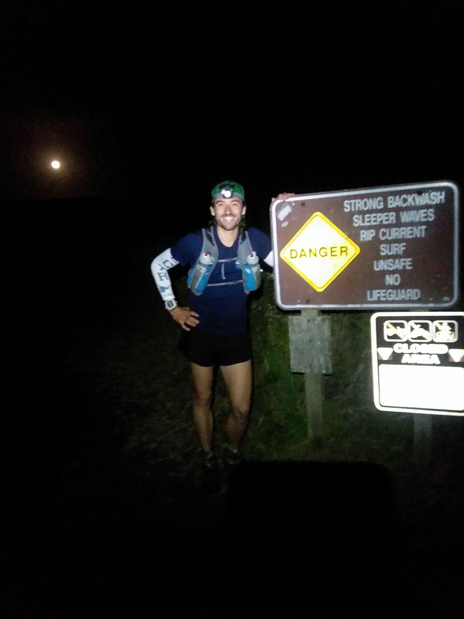
Four and a half hours earlier, we had stood at Mattole Beach on the periphery of a vast coastal wilderness. Jordan snapped a photo of me and I gave her a nervous high-five. A shiver coursed through my body as I turned and started running into the pre-dawn darkness. Miles ticked off as I slipped silently past sleeping seals, sea lions, and unsuspecting slumbering campers. To my left, sea-spray coated cliffs vaulted out of the sand. Above them, the King Range rose thousands of feet into the star-studded night sky. To my right, the Pacific Ocean crashed onto the rocky shore, jostling pebbles, a musical pattering. I ran on a narrow strip of earth between sea and summit. 

After an hour of running, I clicked off my headlamp to watch the pinkening sky bring the severity of the mountains before me into focus. I gazed down the peak-lined coast. I had traveled perhaps seven miles and was about to enter the first of two four-mile impassible zones, where the high tide consumes the Lost Coast Trail twice a day. Ahead of me lay 18 more miles of beach and rock running, followed by 32 miles (and over 10,000 feet of climbing) in the mountains. I settled in for 50 more unforgiving miles on Northern California’s fabled Lost Coast. As footstep after footstep sank into damp sand, I mused over how I had come to find myself in this situation.

For nearly seven months, I had been living an hour and a half south of Usal Beach, the southern end of the Lost Coast, in the small coastal town of Fort Bragg. From Usal, another four and a half hours of nausea-inducing driving would take a determined traveler to Mattole Beach, the northern terminus of the Lost Coast Trail. The 57-miles in between these two beaches proved to be too gnarled for the ambitious builders of California’s famous coastal highway. These miles were “lost,” and with the absence of a road, the Lost Coast was born. 

Throughout the winter, I was working for the state as a seasonal fisheries technician, probing coastal streams and rivers to collect data on the endangered salmon returning to spawn. Twice, my coworkers and I had to abandon plans to backpack the northern part of the Lost Coast due to weather on the notoriously stormy coastline. But the Lost Coast remained just north, a wild adventure nagging in the back of my mind. 

Out of the blue in early April, my supervisor texted me a video of Dylan Bowman running the complete Lost Coast Trail (both the southern and northern sections), setting a new fastest known time (FKT) on the route. I stared at my phone and wondered if I might be able to best Dylan’s time of 11 hours and 12 minutes. Waves of self-doubt and excuses came over me. Any hard effort would be physically draining and mentally brutal, not to mention logistically baffling. The reasons why I was destined to fail began to pile up. I quickly shook these insecurities before they could settle, and instead stoked a fire inside myself. I looked at my phone again and began typing without thinking. “Is this a challenge? Because I am SO down.” And that is how I ended up, a month and a half later, shivering in the dark at the Mattole Beach trailhead at 4:30 in the morning.

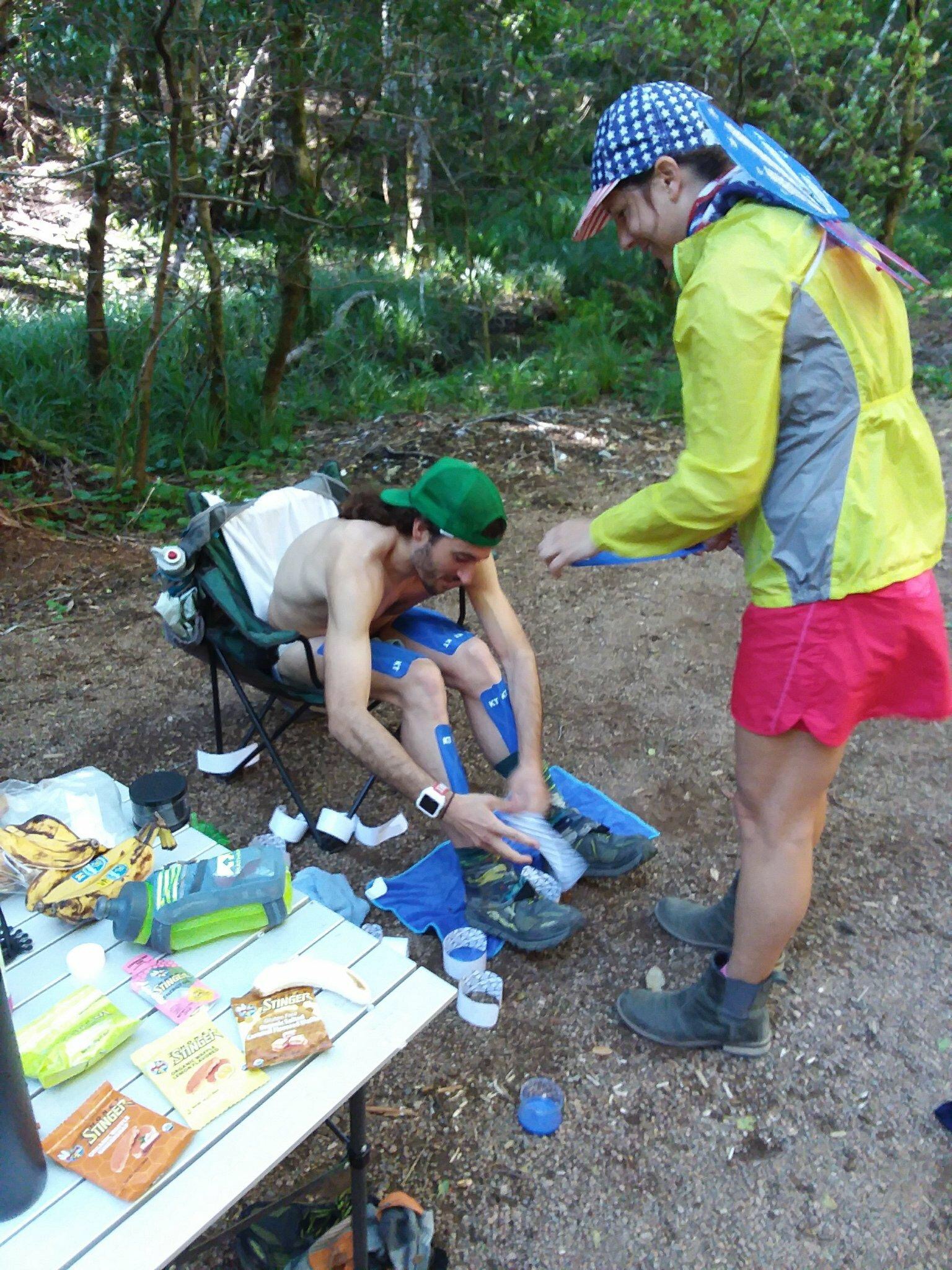
The next time I saw Jordan and Dana, they had their clothes on, and I had taken mine off. The sun had blasted me on the 2,000-foot road climb out of Shelter Cove. I quickly shed my shirt as the temperature rose in sync with the topography. I had left the bluff-lined beach below and just finished the first major climb of the 32 rugged King Range miles to come. Jordan and Dana, now sporting butterfly wings and other dollar store accessories, helped me as I prepared to enter the labyrinthine trail that stretched south to Usal. This was my final pit stop before entering the southern wilderness. It was also a chance to once again drink water from a plastic pineapple. 

A scouting run I had done a few weeks earlier revealed that much of the next marathon would be heinously overgrown with stinging nettle, thistle, poison oak, and blackberries, commingled into thickets of doom intent on ripping anyone who dared pass to shreds. As a Hail Mary precaution, I covered my legs in strips of KT Tape, praying they would form some kind of barrier against the angry vegetation. 

A few miles later, hands on my knees, sweat dripping into my eyes, I grunted up yet another steep climb.  In the absence of my exuberant crew, my tired mind settled on appreciation. I circled back to the fact that my crew had been nude a few hours before and insisted on giving me water only through a now-beloved plastic pineapple. Not to mention, they had driven over a dozen hours to help me spend a day throwing myself against one of the gnarliest chunks of coastline in the country. 

Forty miles in, 17 miles to go, on this sinuous redwood coast. I crested the top of a ridge and gleefully let my legs spin as I descended a rooty trail winding through a grove of towering conifers. Running out of the woods, I navigated a steep, grassy hillside that plummeted into the ocean hundreds of feet below. The hip high grass was punctuated with tunnels of bushes and trees. I ducked, dodged, and fell to the ground for the fifth time in minutes. So much had gone into this attempt, and here I was falling on the ground and crawling on my knees. The trail was in such rough shape that I had no control over my pace, which had slowed to a literal crawl as I neared mile 57.

I was beaten, I was exhausted, and I was ready to be done. Even so, there I was moving my blistered feet and shredded legs. My mind floated to all of the things I had seen that day. I had run through the middle of a herd of 30 elk (in hindsight, not recommended) and listened to elephant seals barking in the dark. As the trail conditions eroded, my love for this place grew. Despite the adversity, I was enraptured by the most beautiful and diverse route I had ever traversed. 

Rolling into the Usal trailhead exhausted and thrilled, I glanced at my watch. I had managed to travel the 57-mile Lost Coast Trail in a new fastest known time of 10 hours and 10 minutes, over an hour under the old record. 

Traveling the Lost Coast Trail in a day gave me a brief yet powerful glimpse at a truly remote and wild land tucked within the most populated state in the nation. For an FKT attempt like this, there was no fanfare or hoopla. Instead, there was just a text message from a supervisor and three people that did not know what they were getting themselves into. As Jordan and Dana handed me a comical “certificate of achievement” complete with sequins and glitter, I realized what the ultrarunning community can do when it comes together to support one another. Armed with nothing but a plastic pineapple, and perhaps clad in nothing, strangers can help new friends chase dreams.

Jeff Mogavero is a runner, writer, wildlife biologist who’s running and ramblings bring levity, insight, and passion to our community. Read his full FKT report and other writings at https://www.jeffmogavero.com/