Categories
Blog FAQ's Highlights Logistics nutrition Preparation registered runners Resources for Registered Runners Runner Resources update What to Expect on Trips

When Things Go Wrong On the Trail

It’s inevitable, not all days on the trail will go smoothly. Aspire provides the backbone of information and preparation to mitigate risks, but when things don’t go according to plan, we approach challenging situations with focus. The Aspire crew enter each season with current Wilderness First Responder certifications, and hit the trails with extra fuel and water, a fully stocked first aid kit and a Delorme InReach for emergency communication between staff and emergency services if need be.

Wilderness travel is accompanied with inherent risk. With that in mind, Aspire approaches each trip with protocols in place to mitigate that risk.

The Safety Sandwich

When runners head out on the trail, an Aspire crew member leaves with them. This runner takes the role of “Sweeper”. The sweeper travels at the back of the pack, ensuring no runner is left behind.
Later in the day, another Aspire crew member heads out from the route’s finish in the role of “Super”. The super carries additional calories, electrolytes and hydration, and runs out to meet runners as they come in on the trail. When the sweeper and the super meet, they confirm that all runners are accounted for and share any important info about runner conditions.

Inclement weather

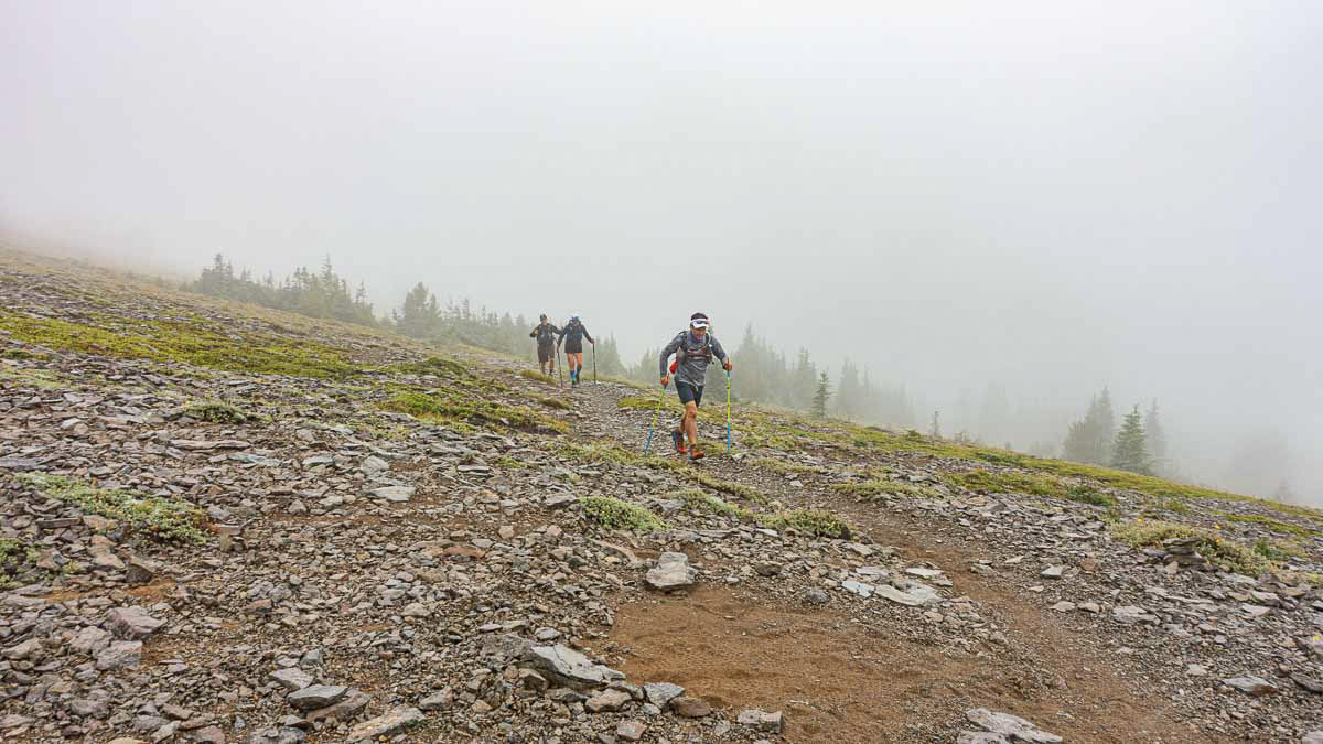
When traveling in the mountains, unexpected shifts in weather have to be expected. The Aspire season stretches from May to October, and heat, big rain storms, lightning, fog, snow and freezing temperatures are all possibilities. We do our best to prepare all participants for a safe and comfortable experience with a required gear list and pre-trip weather briefings.  Insulating layers, a rain jacket, buff, emergency blanket, headlamp, and GPS are all a part of our required gear list.

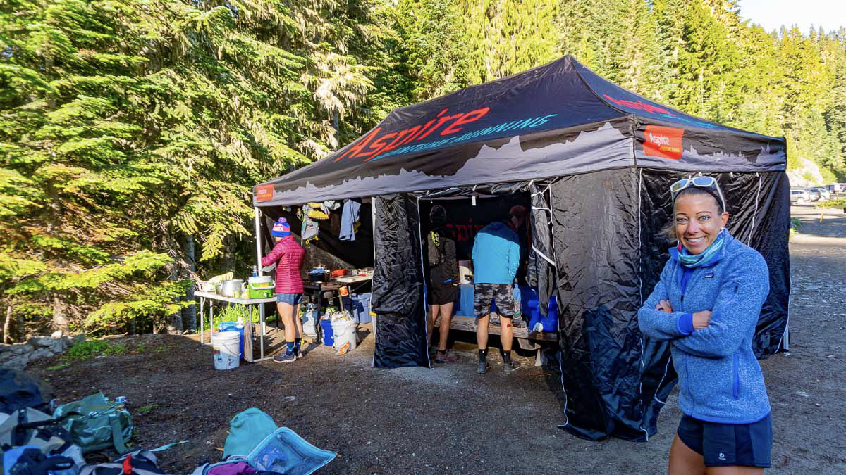
Any runner who’s finished a rainy race knows it doesn’t take long after you stop running for your core temp to drop and the chill to set in. This is where our Aspire base camps really shine.  We deck our walled 10′ x 20′ tent out with propane heaters to create an incredibly warming atmosphere for you to hang out in and warm up after a cold day on the trails.  Oh, did we mention hot showers? When it comes to cold days, we’ve got you covered. 
Feeling Sick on the Trail

We like to call this the ‘puke and rally’ and we’ve seen it multiple times on the trail – runners fall ill while on the trail, recover, and dig deep for that final push to make it to camp in the evening. Whether the heat has become all too much, you ate something bad, have nerves creeping in or dehydration has made you weary and sick, our guides hit the trail with the knowledge, mindset and supplies to help you continue moving on trail, supply the proper fuel, water or medication necessary, or prepare for a potential night on the trail with additional comforts if it becomes too much.   

Dehydration and Bonking

Balancing nutrition with exertion on big runs is a core challenge of mountain running. Inadequate hydration and fueling during big days on the trail is all too common for many folks.  We understand that high heat or feeling too cold can play into how much you feel like eating or drinking on any given day on trail. Every body is different, but eating consistently and maintaining an hourly caloric intake of between 150-300 calories will ensure your body has the spark needed to keep moving. Depending on the weather, hydration should be near constant, with electrolytes balanced with water intake.
Aspire provides an assortment of bars and electrolytes, as well as a ‘lunch bar’ each morning for runners to pack for the trail. This includes all the fixings to make a lunch wrap or sandwich and an endless variety of bars, gels, chews, and snacks. Our advice: LOAD UP!
As a fail-safe, our crew carries backup fuel and water filtration for runners who may fall short.
Injury on the Trail

All Aspire guides hold current Wilderness First Aid Responder certifications. They each carry a well equipped first aid kit, Garmin InReach, and two-way radio, should the need for emergency communication be necessary.  Our team applies our knowledge, risk management, and skill base to come to the best decisions possible for various injuries and medical emergencies. 
Our guides see a range of common injuries, and we’re pros at wrapping ankles and treating blisters. While we hit the trail expecting the nothing but miles of incredible running, we are prepared for anything. Should an injury inhibit movement, our crew works with the runner to gauge severity and make an evacuation plan. Information on our evacuation policies is provided in the pre-trip course packet.
The Unexpected Bivouac

In a worse case scenario, where a runner is unable to make it to camp due to fatigue or injury, it’s important to be prepared to camp in the backcountry overnight.  Every runner making it to camp each night is one of our highest priorities, but if circumstance decides otherwise, the Aspire team will work to make the night as safe as possible. When it becomes clear a backcountry bivy is likely, the “OH SHIT” pack comes out. This pack includes additional shelter, gear and calories. Our staff will communicate with each other, and a member of our camp team will make every reasonable effort to reach the stranded party with a resupply.

At this point, you’re solidly within type 2 fun territory, but hey, if you bivy out in the wilderness one night and go home healthy and well at the end of a trip, it will only add to your list of epic backcountry stories! 

Navigational Errors and Lost Runners 

Getting lost sucks, but it happens.  Taking a wrong turn or getting off route can happen for a variety of reasons.  We understand the varying levels of comfort and knowledge runners have with backcountry navigation and we make sure to have these conversations with runners before heading on the trails.  Prior to each day on trail, we hand out maps and go over the course information for the day.  We highlight potential places for navigational errors and want all of our runners to go out feeling confident in their ability to move through the terrain.  But even with these implemented measures, runners may find themselves off route.  
In the case of a lost runner, our guides note the time that the runners(s) went missing, identify the strengths and liabilities of the missing runner(s) and review the trail, terrain, trail intersections, possible points of interest, and obvious detours and distractions within a five mile radius.  Based on the specific terrain, runner, and weather conditions, our guides will make an initial search plan. If the runner(s) are not located within two hours, our Aspire staff will return to camp. At this point, any “Lost Runners” are declared AWOL.

Once runners have been declared AWOL, an incident form is initiated. A secondary search plan is created based on the weather, terrain, and resources to initiate a secondary search. As all Aspire clients are required to be equipped for an emergency bivy, in most cases this secondary search will begin the following morning. Any secondary search will require an Aspire staff person to remain in camp at all times. After 12 hours of AWOL status with the missing runner(s), an emergency external runner search will be initiated. This external search will include notifying the appropriate land use agency, activating local search and rescue support, and notifying the emergency contacts of the missing person(s). 

Our highest priorities are for our runners health and safety for each trip, among endless miles of enjoyment and fun. Our protocols and expertise are developed to mitigate major risk factors and respond effectively when things go wrong on trail to get you home safely, while enabling epic backcountry adventures.  

Kara Folkerts is a plant powered trail runner, sustainable travel advocate, yoga teacher, and passionate about all things travel, sustainability, health, and outdoor movement. Originally from Canada, Kara has spent the last few years living and travelling in various places across the globe, guiding trips and going on personal expeditions before joining the Aspire crew in 2020. She writes about her experiences and adventures on her blog at www.karafolkerts.com.
Categories
Blog FAQ's gear Highlights Logistics Preparation registered runners Resources for Registered Runners Runner Resources Trail Skills and Equipment update

Backcountry Navigation: The Aspire Model

Aspire trips are defined by wilderness and backcountry spaces. These trips are NOT races, so you won’t find course markings or aid stations. Instead runners will experience remote trails, unreliable cell phone coverage, limited road access, and rugged isolation. Familiarity with and acceptance of the risks and rewards of backcountry travel are an important pre-requisite when preparing for an Aspire trip or any backcountry travel.


One of the great joys of backcountry travel is the problem-solving and independence that comes with route finding and navigation. This is a process of learning to think in terms of topography, drainages, elevation and build an overall picture of the landscape by looking at maps, landforms, distances traveled, and elevation profiles. These skills are a life long practice, honed over years of experience across seasons, terrain, and weather conditions. This post is designed to help runners understand how we approach independent travel and basic navigational tools for Aspire trips.

The Aspire Model: Run with The Guides or Travel Independently

We celebrate that runners of diverse ages, paces, and backcountry experience levels can all successfully participate in our trips. While this diversity present some challenges, we’ve built a model that works across a range of courses and terrain. For more details on our Safety Sandwich and group travel, read our post on How Fast Do I Need to Be for An Aspire Trip.

Given the range of paces that exist in any group, we do NOT expect runners to travel as a group. While running with Aspire staff is always an option, it is not a requirement. Independent travel may happen alone or with other runners, but any travel separate from our staff means accepting responsibility for route-finding and navigation. For that to be successful we use following processes and tools.

Runner Profiles: Our Pre Trip Calculus

Before each trip we ask runners to complete our Runner Profile survey. This set of questions asks about medical issues and dietary preferences as well as detailed questions about race history, backcountry experience, and training runs completed in preparation for the trip. These questions along with information we gather in person before each run helps give us understand each runners experience and comfort level with navigation. We want to be sure that each runner has the skills and the legs that match the course they’ve signed up for.

Elevation Profiles Topographical Maps and Pre Trip Info Sessions

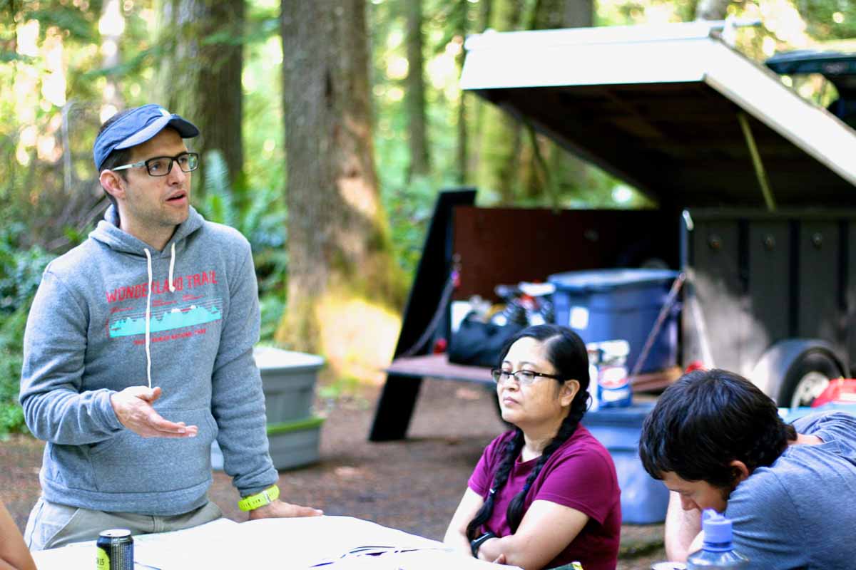
For every trip we supply runners with topographical maps, elevation profiles. and daily course briefings. Each info sessions conveys the essential navigational principles connected to each day of running. These talks include: up to date trail conditions, over all mileage, elevation gain, water sources, and points of interest. We’ll also cover required and recommended gear for each day of running. Our staff are available to check gear, clarify questions and make sure you are headed out each day with confidence.

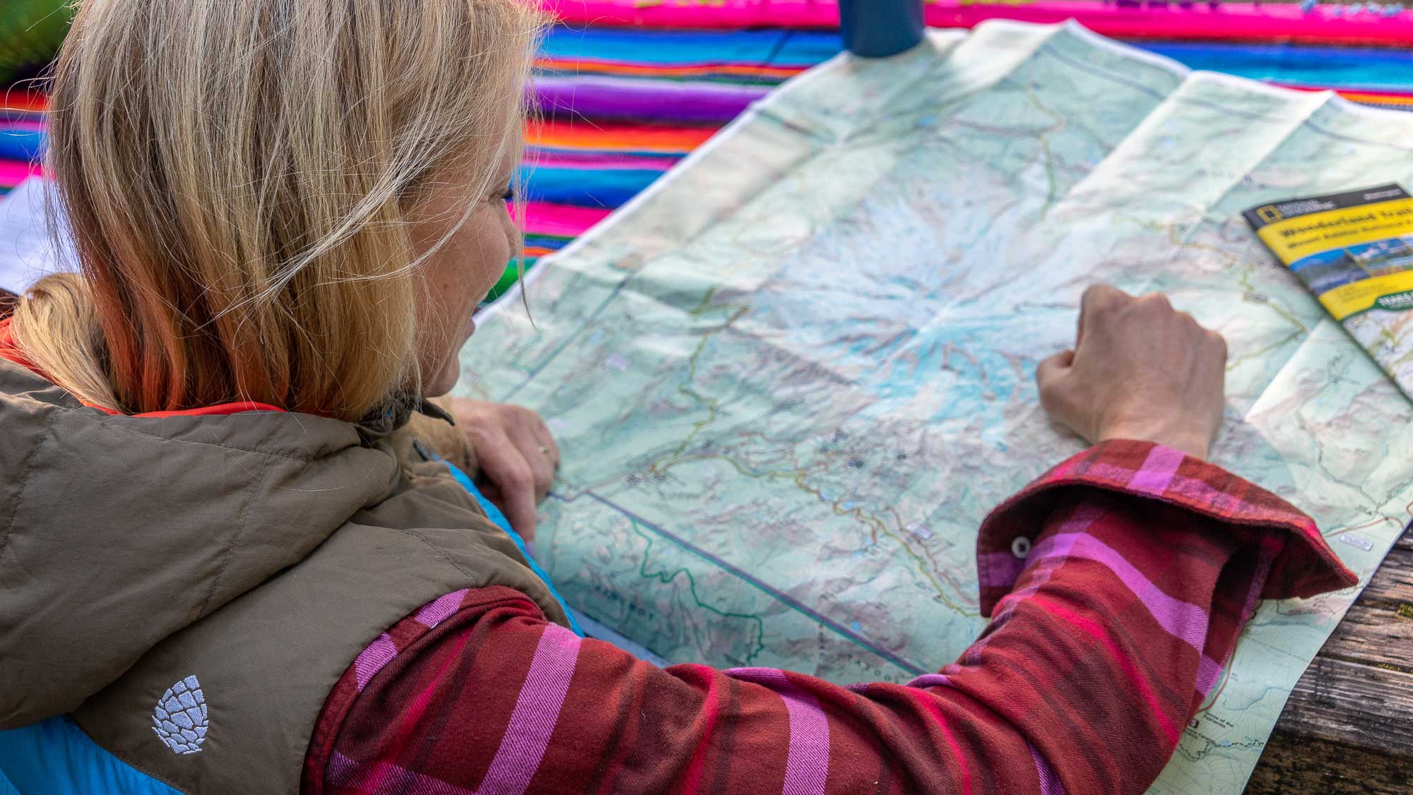
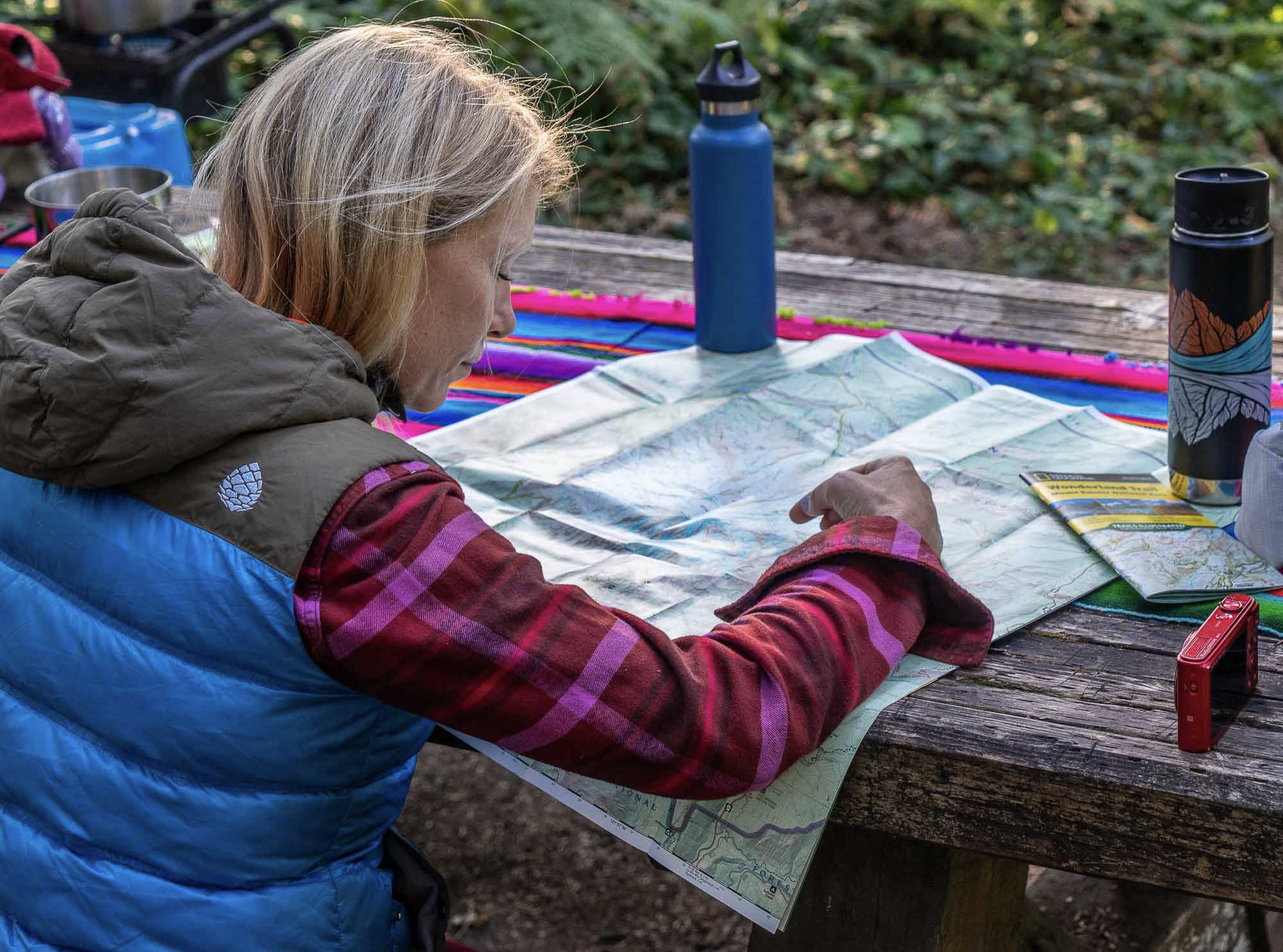
Paper maps accompany each info session and we encourage runners to carry a paper map with them at all times on the trail. Map reading skills form the foundation to any backcountry adventure. If you don’t have much practice with topo maps, we hope that you’ll spend some time familiarizing yourself with developing that skill. This post on How To read Topographical Maps is a great start. During your trip we’re happy to spend time together with the map interpreting topography, contours, scale, and answer any map/route questions you have.

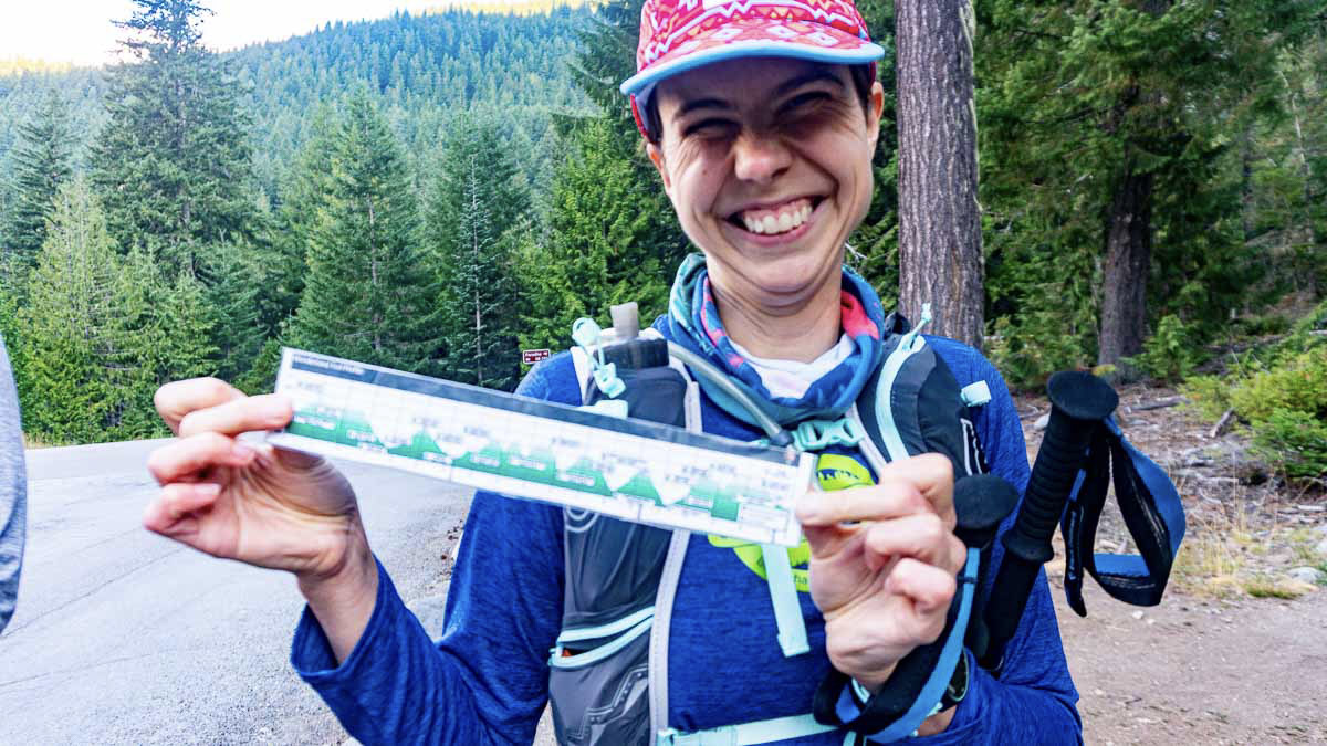
With maps we also supply an elevation profile of each day of running. This snapshot depicts the amount of the climbing and descending connecting to each day of running. Paired with a map these tools convey the essential info needed for each day of running.

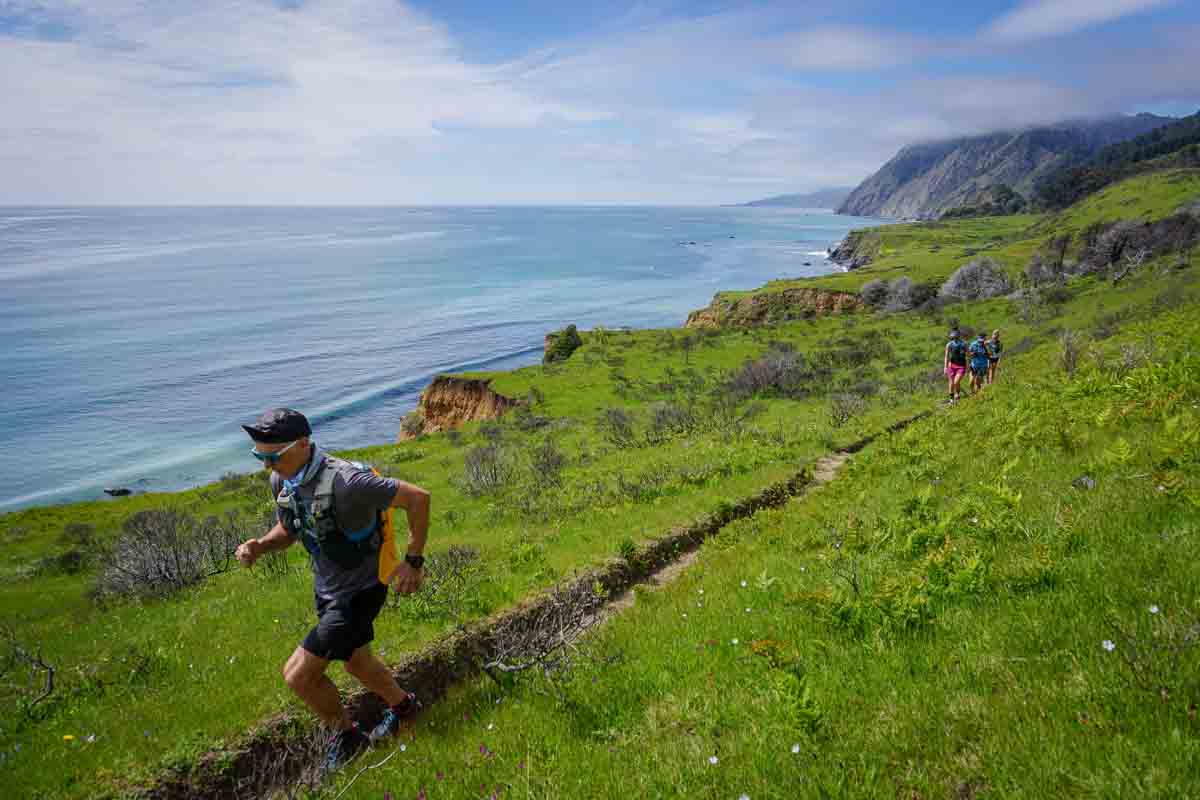
Trail running on the Lost Coast, California

Digital Navigation Tools: GPX Files and Gaia GPS

Incredible amounts of digital information connected to navigation and route finding are available in the modern era. Navigating effectively with these tools requires practicing with them in advance and understanding their limitations. Electronic tools are subject to battery fatigue, moisture, temperature, and don’t hold up well when dropped in rivers or onto rocks. They are however extremely useful when navigating in situations with poor visibility and when trying to determine ones exact location

Gaia GPS is a navigation app (available for IOS or Android) that has become the industry standard.  While a free version is available, we STRONGLY ENCOURAGE you to download the membership version ($19.99 a year) that will allow you to download existing maps (including National Geographic trail maps) which are very valuable for our trips. GPX files from Caltopo can be downloaded from the course packet and uploaded into Gaia for use on our trips (please do this before the trip). You can use Gaia offline once you’ve downloaded the appropriate maps, so you won’t wear down the battery.

Getting Started with Gaia GPS

Playing with this stuff and getting familiar with it is an important part of of preparation for an Aspire trip. Make sure that you practice with Gaia on your phone, experimenting with settings and getting used to using it. Ideally, start a few months before your Aspire trip and take it out on some runs with you and use it.  See how accurate it is, or isn’t. See how your phone battery holds up while using it at different settings. See what your favorite map colors are! 

Below we’re including a few introductory tips for exploring GAIA GPS. You can find even more guidance at https://help.gaiagps.com/hc/en-us

Settings

One thing that can really helpful to familiarize yourself with it is to try different  settings.  You can find the settings button on the bottom right of the screen: 

Once in settings, you can work on adjusting settings, which can affect everything from colors and appearance to the intervals at which distances are marked.  

One thing that is quite helpful is to go to the “Power Saving” Menu and familiarize yourself with it, so that you know how to get the most out of your phone on long days.See how long your phone battery lasts while you use it.   

How to Download a GPX File in GAIA GPS:

You’ll find this really useful when you download the Caltopo maps from the coursepacket:

  1. Open the app and tap “Map” in the bottom menu bar
  2. Tap “+” in the top menu bar
  3. Tap “Import File”
  4. Browse for the file and tap it

Other Electronic Resources

  • A small battery and charging cord for your phone. We’re often covering significant miles, and sometimes batteries can get low. Having a backup power source can make the end of the day less stressful if you’re trying to navigate with Gaia GPS and your phone’s power is getting low. 
  • A GPS watch that can keep track of mileage. Companies like Suunto, Garmin and Coros all make watches like this. Some of them also have navigation and map capabilities, and even ways to backtrack. Sometimes just knowing how far you’ve gone or what elevation you’re at can help you make sense of where you are.
  • A satellite/beacon/communication device like a Garmin Inreach or a Spot. These are certainly not necessary, but if you already have one, bring it, if just to practice. It’s one more tool in the kit. Your Aspire guides will each have one of these as a safety measure.

Over the course of your days with Aspire, you’ll learn about off-trail navigation and route-finding tips, risk and objective hazard analysis. While safety is our highest priority, fun and education are also really important to us. We want you to have the best possible experience, and for you to feel confident, strong, and resilient. If you know where you are and where you’re going, you’ll run better, feel stronger, and have WAAY more fun.  We look forward to sharing these incredible landscapes and skills with you.